NIGERIA: LOCATION, SIZE, PHYSICAL FEATURES, MAIN GEOGRAPHICAL ZONES AND THE IMPACT OF GEOGRAPHY ON HUMAN ACTIVITIES
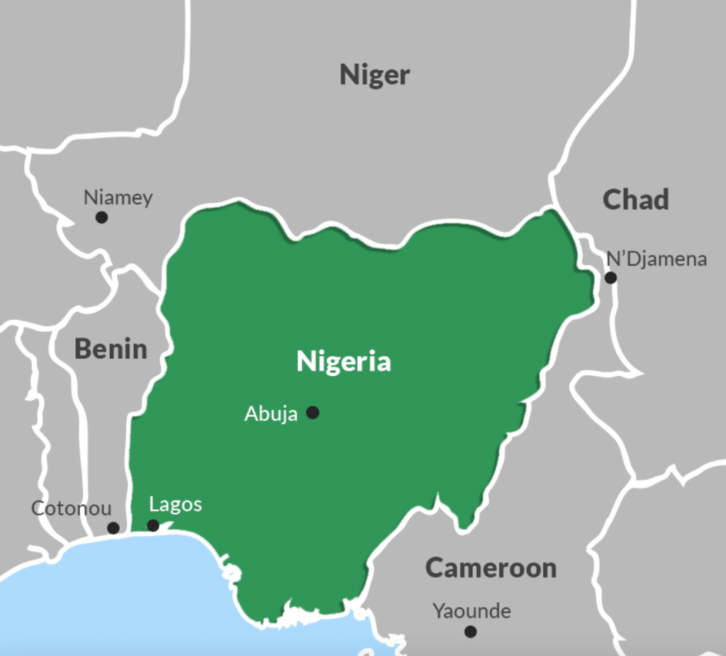
Nigeria is a vast and large nation and as such is regarded as the most populous country in Africa. Nigeria lies roughly between longitudes 30 and 150 east of the Greenwich Meridian and between latitudes 4° and 14° North of the equator and is located in the West African sub-continent.
Nigeria occupies a landmass of about 923,768 square kilometers and with a population of over one hundred and forty million people.
Nigeria is bounded in the West by the Republic of Benin; in the North by the Niger Republic; in the east by the Republic of Cameroon and in the South by the Guinea as shown below: